
Veluwe
Forested hilly area with multiple kinds of terrain, including wetland and heathland
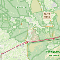
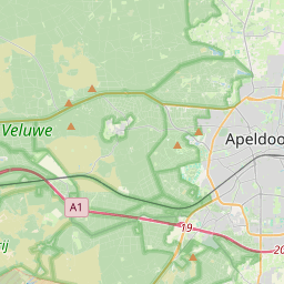
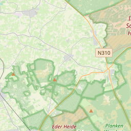
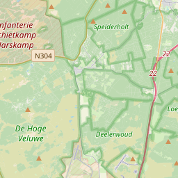
The Veluwe (Dutch pronunciation: [ˈveːlyʋə] ) is a forest-rich ridge of hills (1,100 km2; 420 sq. mi.) in the province of Gelderland in the Netherlands. The Veluwe features many different landscapes, including woodland, heath, some small lakes and Europe's largest sand drifts.
Nº Q1153251 ★★★
Rara · Lugares
Veluwe
Forested hilly area with multiple kinds of terrain, including wetland and heathland
The Veluwe (Dutch pronunciation: [ˈveːlyʋə] ) is a forest-rich ridge of hills (1,100 km2; 420 sq. mi.) in the province of Gelderland in the Netherlands. The Veluwe features many different landscapes, including woodland, heath, some small lakes and Europe's largest sand drifts.
No mapa
Último preço
—
Preço mínimo
—
Mediana 7 d
—
Vendas 30 d
0
Faixa 30 d
—
Em circulação
0
Cotação
mediana
mín – máx
vendas
Sem vendas no período
Ver tabela
| Data | mediana | Mín | Máx | vendas |
|---|
Histórico de vendas
- Última venda
- —
- Média 30 d
- —
- Mínima 30 d
- —
- Máxima 30 d
- —
- Vendas 7 d
- 0
- Vendas 30 d
- 0
Ainda sem vendas.
Vendas anônimas: sem comprador nem vendedor. Os números contam só vendas entre jogadores.
Na Wikipédia
Texto em inglês Ainda não há artigo no seu idioma: trecho em inglês.
The Veluwe (Dutch pronunciation: [ˈveːlyʋə] ) is a forest-rich ridge of hills (1,100 km2; 420 sq. mi.) in the province of Gelderland in the Netherlands. The Veluwe features many different landscapes, including woodland, heath, some small lakes and Europe's largest sand drifts. The Veluwe is the largest push moraine complex in the Netherlands, stretching 60 km (37 mi) from north to south, and reaching heights of up to 110 metres (360 ft). The Veluwe was formed by the Saalian glacial during the Pleistocene epoch, some 200,000 years ago. Glaciers some 200 metres (660 ft) thick pushed the sand deposits in the Rhine and Maas Delta sideways, creating the hills which now form most of the Veluwe. Because the hills are made of sand, rain water disappears rapidly, and then it flows at a depth of tens of metres (yards) to the edges where it reaches the surface again. Originally the Veluwe was surrounded by a string of swamps, heavily populated with game such as deer and wild boar because these areas offered rich vegetation to feed on. Since the 1990s many plans are underway, or have already been implemented, to restore these wetlands by blocking the drainage systems built by farmers during the last 150 years. This results in very dry heathland changing into wetland within a span of just a few hundred metres (yards). The Wisselse Veen near the village of Epe, on the northeastern Veluwe, offers a good example of this.
Texto: Wikipédia em inglês, CC BY-SA 4.0. · Imagem: Wikimedia Commons (Public domain) ·
Cartas próximas

Veluwezoom National Park
National park in Gelderland, the Netherlands
Nº Q1703055 ★

Wageningse Berg
Defunct football stadium in Wageningen, Netherlands
Nº Q18088831 ★★★

Utrecht Hill Ridge
A ridge of low sandhills in the province of Utrecht and North Holland in the Netherlands
Nº Q1530142 ★★★★

Putten
Nº Q939948 ★★

Nederhorst den Berg
Village in Wijdemeren, Netherlands
Nº Q1615344 ★★★★

West-Veluws dialect
Dialect
Nº Q495399 ★★★