
Padstow
Town and civil parish in Cornwall, England, UK
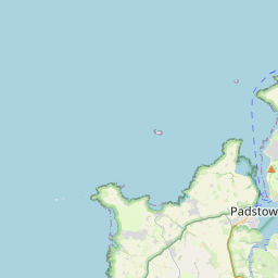
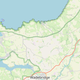
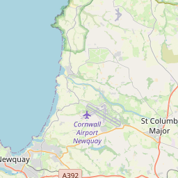
Padstow (; Cornish: Lannwedhenek [lanːwɛˈðɛnɛk] ) is a town, civil parish and fishing port on the north coast of Cornwall, England, United Kingdom. The town is situated on the west bank of the River Camel estuary, approximately 5 miles (8.0 km) northwest of Wadebridge, 10 miles (16 km) northwest of Bodmin and 10 miles (16 km) northeast of Newquay.
Nº Q943931 ★★
Incomum · Lugares
Padstow
Town and civil parish in Cornwall, England, UK
Padstow (; Cornish: Lannwedhenek [lanːwɛˈðɛnɛk] ) is a town, civil parish and fishing port on the north coast of Cornwall, England, United Kingdom. The town is situated on the west bank of the River Camel estuary, approximately 5 miles (8.0 km) northwest of Wadebridge, 10 miles (16 km) northwest of Bodmin and 10 miles (16 km) northeast of Newquay.
No mapa
Último preço
—
Preço mínimo
—
Mediana 7 d
—
Vendas 30 d
0
Faixa 30 d
—
Em circulação
0
Cotação
mediana
mín – máx
vendas
Sem vendas no período
Ver tabela
| Data | mediana | Mín | Máx | vendas |
|---|
Histórico de vendas
- Última venda
- —
- Média 30 d
- —
- Mínima 30 d
- —
- Máxima 30 d
- —
- Vendas 7 d
- 0
- Vendas 30 d
- 0
Ainda sem vendas.
Vendas anônimas: sem comprador nem vendedor. Os números contam só vendas entre jogadores.
Na Wikipédia
Texto em inglês Ainda não há artigo no seu idioma: trecho em inglês.
Padstow (; Cornish: Lannwedhenek [lanːwɛˈðɛnɛk] ) is a town, civil parish and fishing port on the north coast of Cornwall, England, United Kingdom. The town is situated on the west bank of the River Camel estuary, approximately 5 miles (8.0 km) northwest of Wadebridge, 10 miles (16 km) northwest of Bodmin and 10 miles (16 km) northeast of Newquay. As well as Padstow itself, the parish also includes the village of Trevone and surrounding rural areas. At the 2021 census the population of the parish was 2,669 and the population of the built up area was 2,298. The geology of the low plateau west of Padstow has resulted in such features as Tregudda Gorge where erosion along the faultline has caused sheer cliffs to form; and Marble Cliffs which has alternating dark grey and light grey strata. The Round Hole is a collapsed sea cave.
Texto: Wikipédia em inglês, CC BY-SA 4.0. · Imagem: Personal photograph taken by Mick Knapton at en.wikipedia (CC BY-SA 3.0) ·


