

Comum · Lugares
Otley
Market town and civil parish in the City of Leeds metropolitan borough, West Yorkshire, England
Otley is a market town and civil parish at a bridging point on the River Wharfe, in the City of Leeds metropolitan borough in West Yorkshire, England. Historically a part of the West Riding of Yorkshire, the population was 13,668 at the 2011 census.
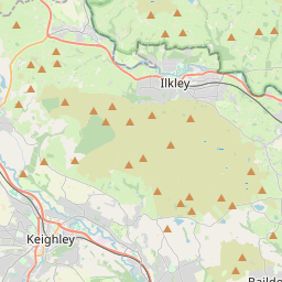
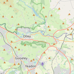
No mapa
Na Wikipédia
Texto em inglês Ainda não há artigo no teu idioma: trecho em inglês.
Otley is a market town and civil parish at a bridging point on the River Wharfe, in the City of Leeds metropolitan borough in West Yorkshire, England. Historically a part of the West Riding of Yorkshire, the population was 13,668 at the 2011 census. It is in two parts: south of the river is the historic town of Otley and to the north is Newall, which was formerly a separate township. The town is in lower Wharfedale on the A660 road which connects it to Leeds. The town is in the Otley and Yeadon ward of Leeds City Council and the Leeds North West parliamentary constituency. Otley's name is derived from Otto, Otho, Othe, or Otta, a Saxon personal name and leah, a woodland clearing in Old English. It was recorded as Ottanlege in 972 and Otelai or Othelia in the Domesday Book of 1086. The name Chevin has close parallels to the early Brythonic Welsh term Cefn meaning ridge and may be a survival of the ancient Cumbric language. There are pre-historic settlement finds alongside both sides of the River Wharfe and it is believed the valley has been settled at this site since the Bronze Age. There are Bronze Age carvings on rocks situated on top of The Chevin: one such example is the Knotties Stone.
Texto: Wikipédia em inglês, CC BY-SA 4.0. · Imagem: TJBlackwell (CC BY-SA 3.0) ·