
Murderkill River
River in Delaware, United States
The Murderkill River is a river flowing to Delaware Bay in central Delaware in the United States. It is approximately 21.7 miles (34.9 km) long and drains an area of 106 square miles (270 km2) on the Atlantic Coastal Plain. The Murderkill flows for its entire length in southern Kent County.
Nº Q6938169 ★★★★
Super rara · Lugares
Murderkill River
River in Delaware, United States
The Murderkill River is a river flowing to Delaware Bay in central Delaware in the United States. It is approximately 21.7 miles (34.9 km) long and drains an area of 106 square miles (270 km2) on the Atlantic Coastal Plain. The Murderkill flows for its entire length in southern Kent County.
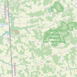
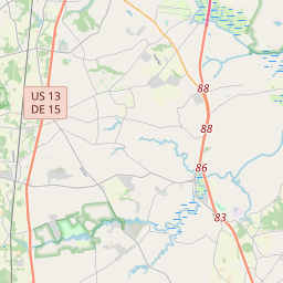
No mapa
Último preço
—
Preço mínimo
—
Mediana 7 d
—
Vendas 30 d
0
Faixa 30 d
—
Em circulação
0
Cotação
mediana
mín – máx
vendas
Sem vendas no período
Ver tabela
| Data | mediana | Mín | Máx | vendas |
|---|
Histórico de vendas
- Última venda
- —
- Média 30 d
- —
- Mínima 30 d
- —
- Máxima 30 d
- —
- Vendas 7 d
- 0
- Vendas 30 d
- 0
Ainda sem vendas.
Vendas anônimas: sem comprador nem vendedor. Os números contam só vendas entre jogadores.
Na Wikipédia
Texto em inglês Ainda não há artigo no seu idioma: trecho em inglês.
The Murderkill River is a river flowing to Delaware Bay in central Delaware in the United States. It is approximately 21.7 miles (34.9 km) long and drains an area of 106 square miles (270 km2) on the Atlantic Coastal Plain. The Murderkill flows for its entire length in southern Kent County. It rises just west of Felton and flows generally east-northeastwardly, through Killen Pond (site of Killens Pond State Park) and Coursey Pond, under Carpenters Bridge, and past Frederica to Bowers, where it enters Delaware Bay about 0.5 miles (1 km) south of the mouth of the St. Jones River. The Murderkill River is tidally influenced from its mouth upstream to just past Frederica, and is considered by the U.S. Army Corps of Engineers to be navigable for the lower 10 miles (16 km) of its course. According to 2002 data from the United States Environmental Protection Agency, 55% of the area of the Murderkill River's watershed is occupied by agricultural uses; 17% is forested; 14% is urban; 9% is wetland; and 2% is water.
Texto: Wikipédia em inglês, CC BY-SA 4.0. · Imagem: Tim Kiser (w:User:Malepheasant) (CC BY-SA 2.5) ·
Cartas próximas

Baía de Delaware
Nº Q738808 ★★

Rio Delaware
Nº Q143762 ★★★

Delaware Water Gap
Geological feature along the Delaware River
Nº Q3021487 ★★

Rio Schuylkill
Nº Q605122 ★★

Dover (Delaware)
Capital do estado de Delaware, Estados Unidos
Nº Q33518 ★★★

Chesapeake & Delaware Canal
Canal in Delaware, United States of America
Nº Q5092885 ★