
Crossmaglen
Village in County Armagh, Northern Ireland
Crossmaglen (from Irish Crois Mhic Lionnáin, meaning 'Mac Lionnáin's cross', IPA: [ˈkɾˠɔʃˈvʲɪcˈlʲɪn̪ˠaːnʲ]) is a village and townland in County Armagh, Northern Ireland. It had a population of 1,610 in the 2011 Census and is the largest village in the south of County Armagh.
Nº Q1838543 ★
Comum · Lugares
Crossmaglen
Village in County Armagh, Northern Ireland
Crossmaglen (from Irish Crois Mhic Lionnáin, meaning 'Mac Lionnáin's cross', IPA: [ˈkɾˠɔʃˈvʲɪcˈlʲɪn̪ˠaːnʲ]) is a village and townland in County Armagh, Northern Ireland. It had a population of 1,610 in the 2011 Census and is the largest village in the south of County Armagh.
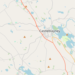
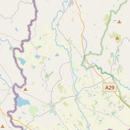
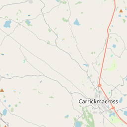
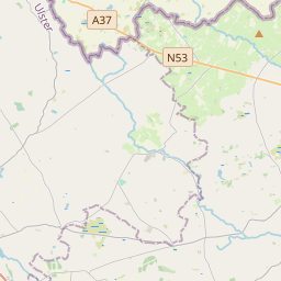
No mapa
Último preço
—
Preço mínimo
—
Mediana 7 d
—
Vendas 30 d
0
Faixa 30 d
—
Em circulação
0
Cotação
mediana
mín – máx
vendas
Sem vendas no período
Ver tabela
| Data | mediana | Mín | Máx | vendas |
|---|
Histórico de vendas
- Última venda
- —
- Média 30 d
- —
- Mínima 30 d
- —
- Máxima 30 d
- —
- Vendas 7 d
- 0
- Vendas 30 d
- 0
Ainda sem vendas.
Vendas anônimas: sem comprador nem vendedor. Os números contam só vendas entre jogadores.
Na Wikipédia
Texto em inglês Ainda não há artigo no seu idioma: trecho em inglês.
Crossmaglen (from Irish Crois Mhic Lionnáin, meaning 'Mac Lionnáin's cross', IPA: [ˈkɾˠɔʃˈvʲɪcˈlʲɪn̪ˠaːnʲ]) is a village and townland in County Armagh, Northern Ireland. It had a population of 1,610 in the 2011 Census and is the largest village in the south of County Armagh. The village centre is the site of a large Police Service of Northern Ireland base and formerly of an observation tower (known locally as the "look-out post"). The square's name commemorates Cardinal Tomás Ó Fiaich, a local man who became Primate of All Ireland (head of the Catholic Church in Ireland), and who died in 1990. However, the Cardinal originated from Crossmaglen's close neighbour, Cullyhanna. Crossmaglen has its own GAA team, Crossmaglen Rangers GAC. Travelling by road, Crossmaglen is 61.6 miles (99.1 km) to the north of Dublin, 15.8 miles (25.4 km) to the west of Newry, and 51.6 miles (83.0 km) to the south of Belfast.
Texto: Wikipédia em inglês, CC BY-SA 4.0. · Imagem: Dean Molyneaux (CC BY-SA 2.0) ·


