

Commune · Lieux
Sausal
Mountain range and region in Styria
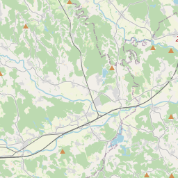
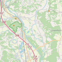
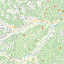
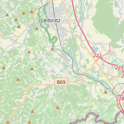
The Sausal (Austrian German pronunciation: [ˈzaʊzal] ) is a small mountain range in the southwestern parts of Austria's state Styria. It thrusts up from the northern banks of the Sulm valley, west of the district town of Leibnitz.
Sur la carte
Sur Wikipédia
Texte en anglais Pas encore d'article dans ta langue : extrait en anglais.
The Sausal (Austrian German pronunciation: [ˈzaʊzal] ) is a small mountain range in the southwestern parts of Austria's state Styria. It thrusts up from the northern banks of the Sulm valley, west of the district town of Leibnitz. Its highest point, the summit of the Demmerkogel, rises 671 m above the level of the Adriatic Sea. Large parts of the Sausal have a mediterranean-type microclimate. Together with the rich soil this is the basis of its extensive vineyards, which are the cornerstone of the local economy. Tourism flourishes as well. Although the privileged climatic situation would have suggested early human habitation in the Sausal mountain range, archeological finds were spurious until late 2004 when preparatory work for a new vineyard on a terrace at the Spiegelkogel mountain near St. Nikolai im Sausal uncovered the remains of an urnfield culture village, and much better preserved late Neolithic construction traces below it. Archaeologists now associate this older Copper Age settlement with the Lasinja culture. The name Sausal first appeared as Susil in 970, when emperor Otto I assigned a strip of territory between the Sulm and the Laßnitz rivers to the Archbishop of Salzburg. This is supposed to be derived from Latin (silva Solva, i.e., the "forest at the Sulm river").
Texte : Wikipédia en anglais, CC BY-SA 4.0. ·