
Turtuk
Village in Ladakh, India
Turtuk is a town, the headquarters of the eponymous tehsil and community development block in the Nubra district of Indian union territory of Ladakh. Situated on the banks of the Shyok River, sandwiched between the Karakorum Range and the Himalayas, and one of the northernmost habitations of India, close to the Line of Control between India and Pakistan.
Nº Q24905777 ★★
Poco común · Lugares
Turtuk
Village in Ladakh, India
Turtuk is a town, the headquarters of the eponymous tehsil and community development block in the Nubra district of Indian union territory of Ladakh. Situated on the banks of the Shyok River, sandwiched between the Karakorum Range and the Himalayas, and one of the northernmost habitations of India, close to the Line of Control between India and Pakistan.
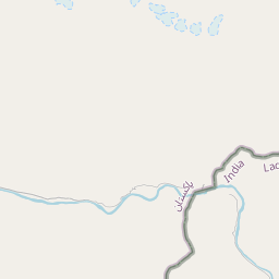
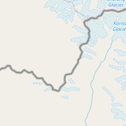
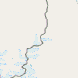
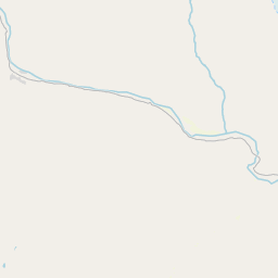
En el mapa
Último precio
—
Precio mínimo
—
Mediana 7 d
—
Ventas 30 d
0
Rango 30 d
—
En circulación
0
Cotización
mediana
mín – máx
ventas
Sin ventas en el periodo
Ver tabla
| Fecha | mediana | Mín | Máx | ventas |
|---|
Historial de ventas
- Última venta
- —
- Media 30 d
- —
- Mínimo 30 d
- —
- Máximo 30 d
- —
- Ventas 7 d
- 0
- Ventas 30 d
- 0
Aún no hay ventas.
Ventas anónimas: sin comprador ni vendedor. Las cifras solo cuentan ventas entre jugadores.
En Wikipedia
Texto en inglés Aún no hay artículo en tu idioma: extracto en inglés.
Turtuk is a town, the headquarters of the eponymous tehsil and community development block in the Nubra district of Indian union territory of Ladakh. Situated on the banks of the Shyok River, sandwiched between the Karakorum Range and the Himalayas, and one of the northernmost habitations of India, close to the Line of Control between India and Pakistan. Geographically, the village is in the Baltistan region, which has been under Pakistani administration, except for five villages of the Turtuk block which are part of India. These villages form the only region in India populated by Balti people. Turtuk is known for its fruit, especially apricots. Turtuk was administered by Pakistan and was under Pakistani control until the war of 1971, when the Indian Army captured the area. It is also one of the gateways to the Siachen Glacier.
Texto: Wikipedia en inglés, CC BY-SA 4.0. · Imagen: Rajnish71 (CC BY-SA 4.0) ·


