

Común · Lugares
Selle
Río de Francia
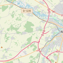
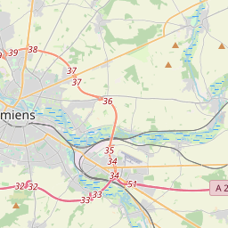
The Selle (French pronunciation: [sɛl] ; also spelt Celle in the Oise) is a river of Hauts-de-France, France. It is 39.2 km (24.4 mi) long. Rising at Catheux, just north of Crèvecœur-le-Grand, Oise, it flows past Conty, Saleux, Salouël and Pont-de-Metz before joining the Somme at Amiens.
En el mapa
En Wikipedia
Texto en inglés Aún no hay artículo en tu idioma: extracto en inglés.
The Selle (French pronunciation: [sɛl] ; also spelt Celle in the Oise) is a river of Hauts-de-France, France. It is 39.2 km (24.4 mi) long. Rising at Catheux, just north of Crèvecœur-le-Grand, Oise, it flows past Conty, Saleux, Salouël and Pont-de-Metz before joining the Somme at Amiens. In many places along its course, the river widens to form or fill lakes, much appreciated by anglers and gravel extractors. Several water-powered mills can still be seen including a paper-mill at Prouzel. Brown trout thrive in the clear waters of the river.
Texto: Wikipedia en inglés, CC BY-SA 4.0. · Imagen: Markus3 (Marc ROUSSEL) (CC BY-SA 2.5) ·