

Poco común · Lugares
Schurwald
Mountain range
The Schurwald is a wooded mountain range in Baden-Württemberg, southern Germany, which at its highest point is 513.2 m above sea level. It is one of the most important Recreation areas for the Stuttgart area.
En el mapa
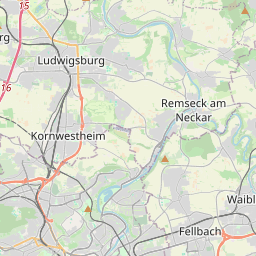
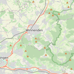
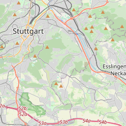
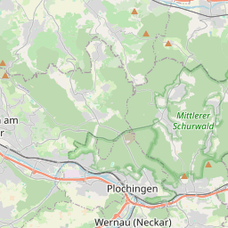
En Wikipedia
Texto en inglés Aún no hay artículo en tu idioma: extracto en inglés.
The Schurwald is a wooded mountain range in Baden-Württemberg, southern Germany, which at its highest point is 513.2 m above sea level. It is one of the most important Recreation areas for the Stuttgart area. Over the centuries, the vast forests of the mountain range supplied the surrounding towns and villages with wood for fuel and building material, and thus acquired the name "Schurwald", which comes from the German word, Schur, which can mean a shearing or clearcutting. The Schurwald begins to the east of Stuttgart and runs eastwards to the foothills of the Swabian Alb, passing through the districts of Esslingen, Göppingen and Rems-Murr-Kreis. It is bordered to the south by valleys of the Neckar and Fils rivers, and to the north by the valley of the Rems. At the eastern end of the Schurwald, which is crossed by numerous streams, is the Herrenbach Reservoir. Geologically, the Schurwald is a dissected cuesta, formed by headward erosion. It contains clay, marl and Late Triassic sandstone. Lias alpha from the early Jurassic can also be found, but only on the plateau. Agriculture no longer plays a major role in the economy of the Schurwald, and in the last few years a number of farms have been forced to close.
Texto: Wikipedia en inglés, CC BY-SA 4.0. · Imagen: R.kaelcke (CC BY-SA 3.0) ·