

Rara · Lugares
Sawfar
Human settlement in Lebanon
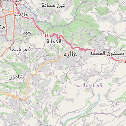
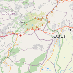
Ru’ Aysat Sawfar or Sawfar (Arabic: رويسات صوفر or صوفر, French: Rue’ Aysat Sawfar), Sawfar, Saoufar or Sofar) is a village in the Aley District of the Mount Lebanon Governorate in Lebanon. Perched at an elevation of more than 1,433 metres (4,701 feet), Sawfar lies adjacent to the main road that connects Beirut to Damascus.
En el mapa
En Wikipedia
Texto en inglés Aún no hay artículo en tu idioma: extracto en inglés.
Ru’ Aysat Sawfar or Sawfar (Arabic: رويسات صوفر or صوفر, French: Rue’ Aysat Sawfar), Sawfar, Saoufar or Sofar) is a village in the Aley District of the Mount Lebanon Governorate in Lebanon. Perched at an elevation of more than 1,433 metres (4,701 feet), Sawfar lies adjacent to the main road that connects Beirut to Damascus. Situated near Mdayrej and the peak of Dahr el Baydar, a former ski centre, Sawfar is 27 km from Beirut in the district of Aley, with an average elevation of 1300 m above sea level. It overlooks the Lamartine Valley and adjacent gorges, including Hammana and Falougha. There are between 3,300–4,000 people living in Sawfar, the most of them being Druze. The name Sawfar can be interpreted in a variety of ways, all of which accurately characterise features of this charming community. For instance, the term "asfar" (or yellow) describes the hue of the rising sun as it crosses the mountains in the morning, while the autumn foliage's rainbow of hues heralds the arrival of new seasons. The bird's whistle is probably a metaphor for the sound of the winds, which Sofar cannot exist without. For whatever reason, Sofar is a community that is unlike any other, a village that seems to have been lost in time. Due to its water resources, Sawfar was formerly known as Ain Sawfar.
Texto: Wikipedia en inglés, CC BY-SA 4.0. · Imagen: marviikad from Al Khobar, Saudi Arabia (CC BY-SA 2.0) ·