
Xinjiang
Autonomous region in China
Xinjiang, officially the Xinjiang Uygur Autonomous Region (XUAR), is an autonomous region of the People's Republic of China (PRC), in the northwest of the country at the crossroads of Central Asia and East Asia. The largest province-level division of China by area and the 8th-largest country subdivision in the world, Xinjiang spans over 1.6 million square kilometers (620,000 sq mi) and has about 25 million inhabitants.
Nº Q34800 ★★★★★
Ultra Rare · Places
Xinjiang
Autonomous region in China
Xinjiang, officially the Xinjiang Uygur Autonomous Region (XUAR), is an autonomous region of the People's Republic of China (PRC), in the northwest of the country at the crossroads of Central Asia and East Asia. The largest province-level division of China by area and the 8th-largest country subdivision in the world, Xinjiang spans over 1.6 million square kilometers (620,000 sq mi) and has about 25 million inhabitants.
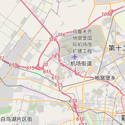
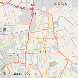
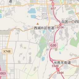
On the map

Last price
—
Floor price
—
7-day median
—
30-day sales
0
30-day range
—
In circulation
0
Price history
median
low – high
sales
No sales in this period
Show table
| Date | median | Low | High | sales |
|---|
Sales history
- Last sale
- —
- 30-day average
- —
- 30-day low
- —
- 30-day high
- —
- Sales 7d
- 0
- Sales 30d
- 0
No sales yet.
Anonymous sales: no buyer or seller shown. Figures count player-to-player sales only.
From Wikipedia
Xinjiang, officially the Xinjiang Uygur Autonomous Region (XUAR), is an autonomous region of the People's Republic of China (PRC), in the northwest of the country at the crossroads of Central Asia and East Asia. The largest province-level division of China by area and the 8th-largest country subdivision in the world, Xinjiang spans over 1.6 million square kilometers (620,000 sq mi) and has about 25 million inhabitants. Xinjiang borders the countries of Afghanistan, India, Kazakhstan, Kyrgyzstan, Mongolia, Pakistan, Russia, and Tajikistan. The rugged Karakoram, Kunlun, and Tian Shan mountain ranges occupy much of Xinjiang's borders, as well as its western and southern regions. The Aksai Chin and Trans-Karakoram Tract regions are claimed by India but administered by China. Xinjiang also borders the Tibet Autonomous Region and the provinces of Gansu and Qinghai. The best-known route of the historic Silk Road ran through the territory from the east to its northwestern border. High mountain ranges divide Xinjiang into the Dzungarian Basin (Dzungaria) in the north and the Tarim Basin in the south. Only about 9.7% of Xinjiang's land area is fit for human habitation. It is home to a number of ethnic groups, including the Han Chinese, Hui, Kazakhs, Kyrgyz, Mongols, Russians, Sibe, Tajiks (Pamiris), Tibetans, and Uyghurs. There are more than a dozen autonomous prefectures and counties for minorities in Xinjiang. Many older English-language reference works call the area Chinese Turkestan, Chinese Turkistan, East Turkestan or East Turkistan. With a documented history of at least 2,500 years, a succession of people and empires have vied for control over all or parts of this territory. In the 18th century it came under the rule of the Qing dynasty, which was later replaced by the Republic of China. Since 1949 and the Chinese Civil War, it has been part of the People's Republic...
Text: Wikipédia, CC BY-SA 4.0. · Image: Photograph: NASA (Public domain) ·
Related cards

Kizilsu Kyrgyz Autonomous Prefecture
Autonomous prefecture
Nº Q861035 ★★★

Guangxi
Provincial area of China organized in 1958 as an autonomous region for the Zhuang people
Nº Q15176 ★★★★

Xining
Capital city of Qinghai province, China
Nº Q69060 ★★★

Dzungaria
Geographical region in northwest China corresponding to the northern half of Xinjiang
Nº Q284027 ★★★

Xinjiang internment camps
Chinese concentration camps in XUAR province, where religious and ethnic repression is carried out against traditionally Muslim peoples, classified as ethnocide, ethnic cleansing and genocide
Nº Q55506436 ★★★

Autonomous prefecture
People's Republic of China prefecture-level subdivision
Nº Q788104 ★★