
Uxbridge
Town in west London, England
Uxbridge () is a suburban town in west London, England, and the administrative headquarters of the London Borough of Hillingdon, 15.4 miles (24.8 km) northwest of Charing Cross. Uxbridge formed part of the parish of Hillingdon in the county of Middlesex.
Nº Q3552816 ★★
Uncommon · Places
Uxbridge
Town in west London, England
Uxbridge () is a suburban town in west London, England, and the administrative headquarters of the London Borough of Hillingdon, 15.4 miles (24.8 km) northwest of Charing Cross. Uxbridge formed part of the parish of Hillingdon in the county of Middlesex.
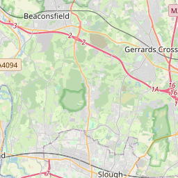
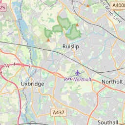
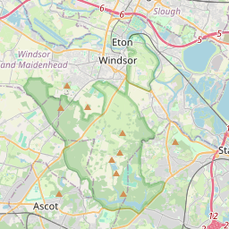
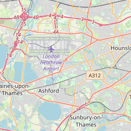
On the map
Last price
—
Floor price
—
7-day median
—
30-day sales
0
30-day range
—
In circulation
0
Price history
median
low – high
sales
No sales in this period
Show table
| Date | median | Low | High | sales |
|---|
Sales history
- Last sale
- —
- 30-day average
- —
- 30-day low
- —
- 30-day high
- —
- Sales 7d
- 0
- Sales 30d
- 0
No sales yet.
Anonymous sales: no buyer or seller shown. Figures count player-to-player sales only.
From Wikipedia
Uxbridge () is a suburban town in west London, England, and the administrative headquarters of the London Borough of Hillingdon, 15.4 miles (24.8 km) northwest of Charing Cross. Uxbridge formed part of the parish of Hillingdon in the county of Middlesex. As part of the suburban growth of London in the 20th century it expanded and increased in population, becoming a municipal borough in 1955, and part of Greater London in 1965. Attempted negotiations between King Charles I and the Parliamentary Army during the English Civil War took place at a public house called the Crown and Treaty. RAF Uxbridge houses the Battle of Britain Bunker, from where the air defence of the south-east of England was coordinated during the Battle of Britain especially from its No. 11 Group Operations Room, also used during the D-Day landings. Today the town serves as a significant retail and commercial centre; it also houses Brunel University London as well as a campus of Buckinghamshire New University. A part of the town which has large converted flour mills adjoins Buckinghamshire, the boundary being the River Colne.
Text: Wikipédia, CC BY-SA 4.0. · Image: Nigel Cox (CC BY-SA 2.0) ·
Related cards

London Borough of Hillingdon
Borough in the London Region in England
Nº Q205690 ★★

Sidcup
Suburban district of south-east London, England, primarily in the London Borough of Bexley
Nº Q146705 ★★

Upminster
Suburban town in east London, England
Nº Q3247232 ★★

Hoxton
District in the East End of London, England
Nº Q1998354 ★★

Chelsea, London
Area of London and former civil parish
Nº Q743535 ★★★

Haggerston
Area in Hackney, London, England
Nº Q2146341 ★