
Utrecht (agglomeration)
Agglomeration of the city of Utrecht and the surrounding cities, villages, and townships in the middle of The Netherlands
The city of Utrecht and the surrounding cities, villages, and townships form an agglomeration in the middle of The Netherlands. It is located entirely in the province of Utrecht, and is the eastern part of so-called North Wing the larger Randstad urban area.
Nº Q3040539 ★★★
Rare · Places
Utrecht (agglomeration)
Agglomeration of the city of Utrecht and the surrounding cities, villages, and townships in the middle of The Netherlands
The city of Utrecht and the surrounding cities, villages, and townships form an agglomeration in the middle of The Netherlands. It is located entirely in the province of Utrecht, and is the eastern part of so-called North Wing the larger Randstad urban area.
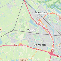
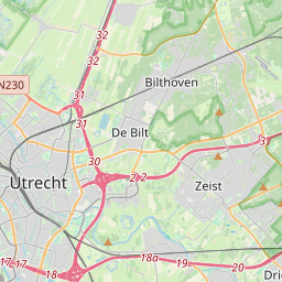
On the map
Last price
—
Floor price
—
7-day median
—
30-day sales
0
30-day range
—
In circulation
0
Price history
median
low – high
sales
No sales in this period
Show table
| Date | median | Low | High | sales |
|---|
Sales history
- Last sale
- —
- 30-day average
- —
- 30-day low
- —
- 30-day high
- —
- Sales 7d
- 0
- Sales 30d
- 0
No sales yet.
Anonymous sales: no buyer or seller shown. Figures count player-to-player sales only.
From Wikipedia
The city of Utrecht and the surrounding cities, villages, and townships form an agglomeration in the middle of The Netherlands. It is located entirely in the province of Utrecht, and is the eastern part of so-called North Wing the larger Randstad urban area. The agglomeration has a population of about 690,000 people (a rough estimate based on data collected in 2001–2012). The following towns are commonly recognized as part of the agglomeration: This interpretation of what is to be acknowledged the greater Utrecht area, is the most common one. The physically joint urban area (the innercity-Utrecht area and its surrounding authentic quarters, boroughs and outskirts; the town of Maarssen, which is connected to Utrecht by the Utrecht district of Zuilen and the Lage Weide industrial area; Nieuwegein which has grown attached to the south of the city during the seventies and nineties. To which are attached the smaller suburban towns of IJsselstein and Vianen; the former villages of De Meern and Vleuten, which have been annexed - also formally - by the Utrecht municipality and the western city expansion of Leidsche Rijn; the chained towns of De Bilt and Bilthoven, who are nearly connected to the east side of the city with less than a mile of recreational areas and infrastructure separating both) houses around half a million people. The other 100–200.000 inhabitants making up the entire agglomeration population mostly live in slightly more distant towns such as Zeist, Bunnik, Houten, Breukelen etc. These suburban towns and villages are situated, averagely about four of five miles from the outer districts of Utrecht city. The larger economic, cultural and educational area of which the city of Utrecht is the main centre is equal to the province of Utrecht excluding the small agglomeration of Amersfoort and the town of Veenendaal (which are...
Text: Wikipédia, CC BY-SA 4.0. · Image: Ischa1 at Dutch Wikipedia (Public domain) ·
Related cards

Utrecht
Municipality in the Netherlands and capital city of the province of Utrecht
Nº Q803 ★★★★★

Randstad
Conurbation in the Netherlands
Nº Q806 ★★★

Ulft
Village in Oude IJsselstreek, Netherlands
Nº Q1260625 ★

North Holland
Province of the Netherlands
Nº Q701 ★★★★

Leiden
City and municipality in South Holland, the Netherlands
Nº Q43631 ★★★★

Utrechtse Heuvelrug
Municipality in the province of Utrecht, the Netherlands
Nº Q10043 ★★