
Stavele
Section of Alveringem, Belgium
Stavele is a village in the Belgian province of West Flanders and is a submunicipality of Alveringem along the Yser. It was an independent municipality until 1970. It covers an area of 1,263 ha (3,120 acres) and had 825 inhabitants in 1970.
Nº Q2580670 ★★★
Rare · Places
Stavele
Section of Alveringem, Belgium
Stavele is a village in the Belgian province of West Flanders and is a submunicipality of Alveringem along the Yser. It was an independent municipality until 1970. It covers an area of 1,263 ha (3,120 acres) and had 825 inhabitants in 1970.
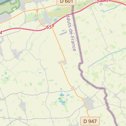
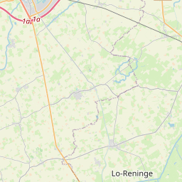
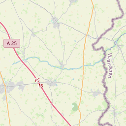
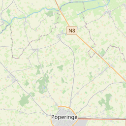
On the map
Last price
—
Floor price
—
7-day median
—
30-day sales
0
30-day range
—
In circulation
0
Price history
median
low – high
sales
No sales in this period
Show table
| Date | median | Low | High | sales |
|---|
Sales history
- Last sale
- —
- 30-day average
- —
- 30-day low
- —
- 30-day high
- —
- Sales 7d
- 0
- Sales 30d
- 0
No sales yet.
Anonymous sales: no buyer or seller shown. Figures count player-to-player sales only.
From Wikipedia
Stavele is a village in the Belgian province of West Flanders and is a submunicipality of Alveringem along the Yser. It was an independent municipality until 1970. It covers an area of 1,263 ha (3,120 acres) and had 825 inhabitants in 1970.
Text: Wikipédia, CC BY-SA 4.0. · Image: MADe (CC BY-SA 3.0) ·
Related cards

Leisele
Section of Alveringem, Belgium
Nº Q2609110 ★★★
Elversele
Section of Temse, Belgium
Nº Q2657787 ★★★

Stalhille
Section of Jabbeke, Belgium
Nº Q3181954 ★★★

Gijzenzele
Section of Oosterzele, Belgium
Nº Q3105510 ★★★

Leffinge
Section of Middelkerke, Belgium
Nº Q1827485 ★★★

Scheldewindeke
Section of Oosterzele, Belgium
Nº Q2392360 ★★★