

Uncommon · Places
Niebert
Village in Westerkwartier, Netherlands
Niebert (Dutch pronunciation: [ˈnibɛrt]; Gronings: Nijbert) is a village in the municipality of Westerkwartier in the province of Groningen in the Netherlands. As of 2021, it had a population of 745.
Read more
Niebert is located in the bocage landscape of the southern Westerkwartier in the former Ommeland Vredewold. The village originated as a linear village on the old Geest of Vredewold. Characteristic are the opstrekkende heerden that extend far to the south of the village and are bordered in the north by the Oude Diep. Niebert actually consists of two habitation axes. The northern one (the Molenweg) is the primary extraction axis where most of the buildings and the old church are located today. The southern one is the Malijksepad (locally called 't Pad), a footpath that runs over the old sand ridge between Marum and Tolbert. Here are a number of farms and the Iwema stone house (see history). Traditionally, the farms were located on the primary extraction axis, but after the soil had settled as a result of peat extraction there, they were moved to the south.
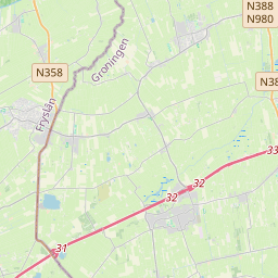
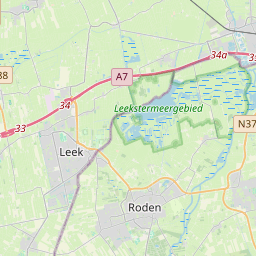
On the map
Text: Wikipédia, CC BY-SA 4.0. · Image: Hardscarf (CC BY-SA 3.0) ·