

Uncommon · Places
Mongala
A province formed from the breakup of Greater Ecuador
Mongala is one of the 21 provinces of the Democratic Republic of the Congo created in the 2015 repartitioning. Mongala, Équateur, Nord-Ubangi, Sud-Ubangi, and Tshuapa provinces are the result of the dismemberment of the former Équateur province.
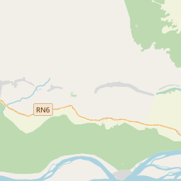
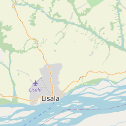
On the map
From Wikipedia
Mongala is one of the 21 provinces of the Democratic Republic of the Congo created in the 2015 repartitioning. Mongala, Équateur, Nord-Ubangi, Sud-Ubangi, and Tshuapa provinces are the result of the dismemberment of the former Équateur province. Mongala was formed from the Mongala District whose town of Lisala was elevated to capital city of the new province. The province is divided in to three territories and one independently administered city. Mongala is located in the northwestern Democratic Republic of the Congo, and borders the provinces of Équateur to the southwest, Tshuapa to the south, Tshopo to the southeast, Bas-Uele to the east, Nord-Ubangi to the north, Sud-Ubangi to the northwest. Most of the province has a tropical monsoon climate by the Köppen-Geiger climate classification, except for parts of the south, which have a tropical rainforest climate. From 1963–1966, Mongala Province was known as Moyen-Congo. However, under Mobutu, the province was reintegrated into the former Équateur province where it was administered as Mongala District, until 2015. Presidents (later governors) of the Moyen-Congo province were:
Text: Wikipédia, CC BY-SA 4.0. · Image: WINEUR (CC BY-SA 4.0) ·