

Uncommon · Places
Mayrouba
Village in Lebanon
Mayrouba (Arabic: ميروبا, romanized: Mayrūbā; also spelled Meyrouba or Mairouba) is a village and municipality in the Keserwan District of the Keserwan-Jbeil Governorate in Lebanon. Its average elevation is 1,300 metres (4,300 ft) above sea level and its total land area is 823 hectares.
Read more
Mayrouba's inhabitants are almost predominantly Maronite Catholic. As of 2008, the village had a school with 50 pupils and seven businesses with over five employees. There are several Stone Age archaeological sites in the vicinity that have defined the location as the type site of the Mayroubian culture. Mayrouba I is 14 kilometres (8.7 mi) east northeast of Junie by the way to Faraya. It is a large site on top of a plateau to the north of the village situated in sandstone at an altitude of approximately 1,400 metres (4,600 ft). It was discovered by Paulist Fathers from Harissa. Collections were made from the site by P.R. Gigues and various Jesuits including Maurice Tallon, Auguste Bergy, Francis Hours and Henri Fleisch. Fleisch admitted that it was not the best choice for a type site due to the possibility of mixed industries however he published it as a transitional site with successive occupations between peoples of the Middle Paleolithic and Upper Paleolithic.
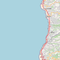
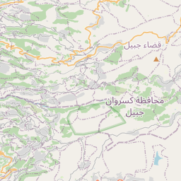
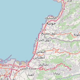
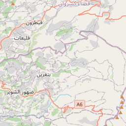
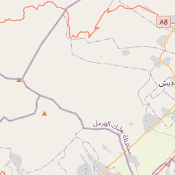
On the map
Text: Wikipédia, CC BY-SA 4.0. · Image: NordNordWest (CC BY-SA 3.0 de) ·