

Uncommon · Places
Loperhet
Commune in Finistère, France
Loperhet (French pronunciation: [lɔpeʁɛt]; also Lopérhet; Breton: Loperc'hed) is a commune in the Finistère department of Brittany in north-western France.
Read more
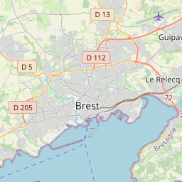
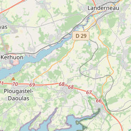
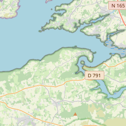
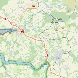
Inhabitants of Loperhet are called in French Loperhétois. Loperhet is situated between the communes of Dirinon to the east and Plougastel-Daoulas to the west. It is nine kilometers to the southwest of Landerneau and fifteen kilometers southeast of Brest, the largest town in the area. In the north is the river Élorn and in the south is the harbor known as the Roadstead of Brest. Thus, alongside the commune of Plougastel-Daoulas it forms the peninsula of Plougastel. The town is situated at 58 meters above sea level but the commune's territory varies up to 162 meters above sea level. The commune is nearby the Armorica Regional Natural Park, whose northern border is found seven kilometers away. Situated in the cove of Penfoul, the port of Rostiviec (the name coming from the Celtic or Norse word wic meaning bay) was notable for its fishing industry. In summer, they fished for mackerel and saurel while in winter they dredged for praire clams and St. James scallops.
On the map
Text: Wikipédia, CC BY-SA 4.0. · Image: Moreau.henri (CC BY-SA 3.0) ·