

Common · Places
Katihar
Sub-cosmopolitan City in Bihar, India
Katihar (Hindi pronunciation: [kəʈɪɦaːr]; Bengali pronunciation: [kaʈihar]), is the tenth largest city in the state of Bihar in India in terms of population, Along with being one of the largest economic, educational and administrative centre in the eastern part of Bihar. The city situated in the eastern bank of Kari Kosi river.
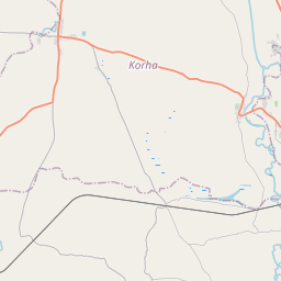
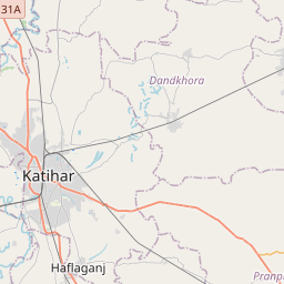
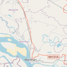
On the map
From Wikipedia
Katihar (Maithili pronunciation: [kəʈɪɦaːr]; Bengali pronunciation: [kaʈihar]), is the tenth largest city in the state of Bihar in India in terms of population, Along with being one of the largest economic, educational and administrative centre in the eastern part of Bihar. The city situated in the eastern bank of Kari Kosi river. It is the headquarters of Katihar district and Katihar railway division of Northeast Frontier Railway. Historically, it was an important metre gauge railway station in the Bengal Presidency that linked North India with the regions of North Bengal and Northeast India. The main railway station of the city is Katihar Junction, a very important railway station on the Guwahati - Barauni railway line. Katihar is connected through road network The nearest airport is located at Purnia Airport near Purnia (30 km) The nearest major airport is located at Bagdogra Airport (160 km) near Siliguri (West Bengal) Katihar Junction is a major strategic Railway Junction under Northeast Frontier Railway which connects North East India with the rest of India. As per the 2011 census, Katihar Urban Agglomeration had a population of 240,565. Katihar Urban Agglomeration includes Katihar (municipal corporation plus outgrowth) and Katihar Railway Colony (outgrowth). Katihar Municipal Corporation had a total population of 225,982, out of which 119,142 were males and 106,840 were females. It had a sex ratio of 897.
Text: Wikipédia, CC BY-SA 4.0. · Image: Akash559 (CC BY-SA 4.0) ·