

Common · Places
Imbaba
Section of the city of Giza, Egypt
Imbaba (Arabic: إمبابة Imbāba, IPA: [emˈbæːbæ]) is a working-class neighbourhood in northern Giza, Egypt, located west of the Nile and northwest of and near Gezira Island and downtown Cairo, within the Giza Governorate. The district is located in the historic upper Nile Delta, and is part of the Greater Cairo metropolitan area.
On the map
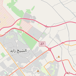
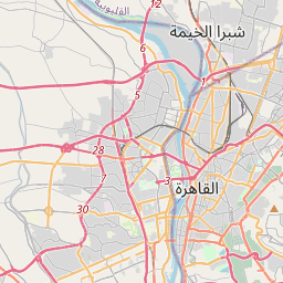
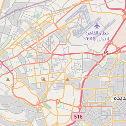
From Wikipedia
Imbaba (Arabic: إمبابة Imbāba, IPA: [emˈbæːbæ]) is a working-class neighbourhood in northern Giza, Egypt, located west of the Nile and northwest of and near Gezira Island and downtown Cairo, within the Giza Governorate. The district is located in the historic upper Nile Delta, and is part of the Greater Cairo metropolitan area. Imbaba is the most densely populated city subdivision in the world. Imbaba is also the name of an adjacent administrative centre (مركز) in rural Giza Governorate, which has 18 villages in its jurisdiction. The origin of the name Imbaba is not certain. Imbaba (ዕምባባ) pronounced exactly as it is in Egypt, is also a word in the Tigrinya language spoken in Eritrea and the Tigray province in northern Ethiopia and means flower. Some sources claim that it comes from the Amharic word for African fan palm (Amharic: ዘምባባ, romanized: zembaba) and that the area was called so by Ethiopian camel merchants and herders to describe the place where they met to do business. However, the fan palm does not grow in Egypt and older versions of the name that do not correspond to the Amharic word are attested – Nababa (Arabic: نبابة) and Ambuba (Arabic: امبوبه). For centuries Imbaba was the final destination for camels brought from as far as Sudan and the Horn of Africa, to be sold in the village's Friday market. The market still exists, but is no longer as important as it was up to the turn of the 20th century due to increasing urbanisation.
Text: Wikipédia, CC BY-SA 4.0. · Image: Hossam el-Hamalawy (CC BY-SA 2.0) ·