
Harod Stream
River in Israel
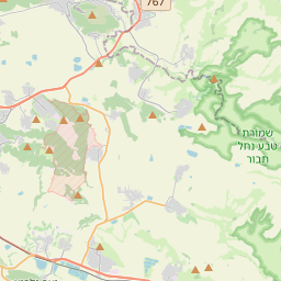
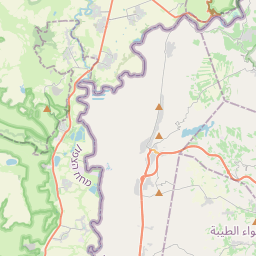
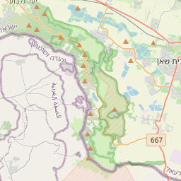
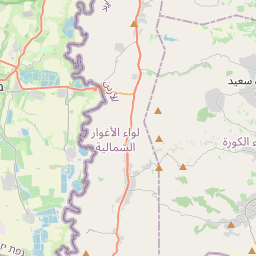
The Harod Stream Hebrew: נחל חרוד, romanized: Nahal Harod, Arabic: نهر جالود, romanized: Wadi Jalud is a stream in Israel that flows west to east, from the Givat HaMoreh area via the Harod Valley and Beit She'an Valley into the Jordan River, about two kilometres (1.2 mi) north of Ma'oz Haim. It is the main drainage route of the Harod Valley The elevation is 500 metres (1,600 ft) above sea level at the source and 230 metres (750 ft) below sea level at the mouth (at 32.5144°N 35.5528°E / 32.5144; 35.5528).
Nº Q602464 ★★★
Rare · Places
Harod Stream
River in Israel
The Harod Stream Hebrew: נחל חרוד, romanized: Nahal Harod, Arabic: نهر جالود, romanized: Wadi Jalud is a stream in Israel that flows west to east, from the Givat HaMoreh area via the Harod Valley and Beit She'an Valley into the Jordan River, about two kilometres (1.2 mi) north of Ma'oz Haim. It is the main drainage route of the Harod Valley The elevation is 500 metres (1,600 ft) above sea level at the source and 230 metres (750 ft) below sea level at the mouth (at 32.5144°N 35.5528°E / 32.5144; 35.5528).
On the map
Last price
—
Floor price
—
7-day median
—
30-day sales
0
30-day range
—
In circulation
0
Price history
median
low – high
sales
No sales in this period
Show table
| Date | median | Low | High | sales |
|---|
Sales history
- Last sale
- —
- 30-day average
- —
- 30-day low
- —
- 30-day high
- —
- Sales 7d
- 0
- Sales 30d
- 0
No sales yet.
Anonymous sales: no buyer or seller shown. Figures count player-to-player sales only.
From Wikipedia
The Harod Stream Hebrew: נחל חרוד, romanized: Nahal Harod, Arabic: نهر جالود, romanized: Wadi Jalud is a stream in Israel that flows west to east, from the Givat HaMoreh area via the Harod Valley and Beit She'an Valley into the Jordan River, about two kilometres (1.2 mi) north of Ma'oz Haim. It is the main drainage route of the Harod Valley The elevation is 500 metres (1,600 ft) above sea level at the source and 230 metres (750 ft) below sea level at the mouth (at 32.5144°N 35.5528°E / 32.5144; 35.5528). The drainage basin is 180 km2 (69 sq mi). The total length from the source to mouth is 31 km (19 mi), but the length of the non-intermittent flow is 20 to 22 km (12 to 14 mi). While the original sources of the water are karst springs, most of the stream's water comes from the discharge of numerous fish ponds, irrigation systems, and sewage. Rain floods are rare, and the upper flow of the stream is dry during most of the time. The network of the stream and its tributaries is mostly man-made, and natural riverbeds are preserved at the southern steep slopes of the valley.
Text: Wikipédia, CC BY-SA 4.0. · Image: Mr. Gad Lehman (CC BY 3.0) ·
Related cards

Arugot Stream
Stream in Israel
Nº Q1138503 ★★★

Ma'ayan Harod
Spring on the southern border of the Jezreel Valley
Nº Q603425 ★

Harod Valley
Valley in Israel
Nº Q497117 ★★★★

Nof HaGalil
Mixed city in northern Israel, formerly named Nazareth Illit
Nº Q167659 ★★

Nahal Amud
River in Israel
Nº Q2777661 ★★★★

Ayun Stream
Perennial stream in southern Lebanon and in the Galilee Panhandle, northeastern Palestine; tributary of Hasbani (Snir) River
Nº Q2776670 ★★★★