
Erith
District of South East London within the London Borough of Bexley
Erith ( ) is an area in south-east London, England, 13.3 miles (21.4 km) east of Charing Cross. Before the creation of Greater London in 1965, it was in the historical county of Kent. Since 1965, it has formed part of the London Borough of Bexley.
Nº Q146671 ★
Common · Places
Erith
District of South East London within the London Borough of Bexley
Erith ( ) is an area in south-east London, England, 13.3 miles (21.4 km) east of Charing Cross. Before the creation of Greater London in 1965, it was in the historical county of Kent. Since 1965, it has formed part of the London Borough of Bexley.
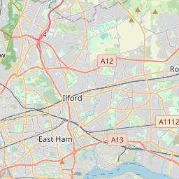
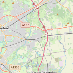
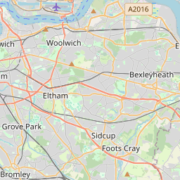
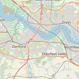
On the map
Last price
—
Floor price
—
7-day median
—
30-day sales
0
30-day range
—
In circulation
0
Price history
median
low – high
sales
No sales in this period
Show table
| Date | median | Low | High | sales |
|---|
Sales history
- Last sale
- —
- 30-day average
- —
- 30-day low
- —
- 30-day high
- —
- Sales 7d
- 0
- Sales 30d
- 0
No sales yet.
Anonymous sales: no buyer or seller shown. Figures count player-to-player sales only.
From Wikipedia
Erith ( ) is an area in south-east London, England, 13.3 miles (21.4 km) east of Charing Cross. Before the creation of Greater London in 1965, it was in the historical county of Kent. Since 1965, it has formed part of the London Borough of Bexley. It lies north-east of Bexleyheath and north-west of Dartford, on the south bank of the River Thames. The town centre has been modernised with further dwellings added since 1961. The curved riverside high street has three listed buildings, including the Church of England church and the Carnegie Building. Erith otherwise consists mainly of suburban housing. It is linked to central London and Kent by rail and to Thamesmead by a dual carriageway. It has the longest pier in London, and retains a coastal environment with salt marshes alongside industrial land.
Text: Wikipédia, CC BY-SA 4.0. · Image: Nigel Cox (CC BY-SA 2.0) ·
Related cards

Crayford
Town in south-east London, England, within the London Borough of Bexley
Nº Q146676 ★

Dagenham
Town in east London, England
Nº Q1075299 ★★

Limehouse
District of the London Borough of Tower Hamlets
Nº Q123741 ★★

Barking, London
Area of east London
Nº Q377720 ★★

Lambeth
District in Central London, England
Nº Q148349 ★★★

Thamesmead
Area in London, England, UK
Nº Q146774 ★★