
Curepipe
Administrative territorial entity of Mauritius
Curepipe (Mauritian Creole pronunciation: [kiːəpip]), also known as La Ville-Lumière (The City of Light), is a town in Mauritius, located mainly in the Plaines Wilhems District. Its eastern part lies in the Moka District.
Nº Q1002525 ★★★★
Super Rare · Places
Curepipe
Administrative territorial entity of Mauritius
Curepipe (Mauritian Creole pronunciation: [kiːəpip]), also known as La Ville-Lumière (The City of Light), is a town in Mauritius, located mainly in the Plaines Wilhems District. Its eastern part lies in the Moka District.
On the map
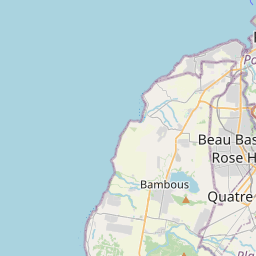
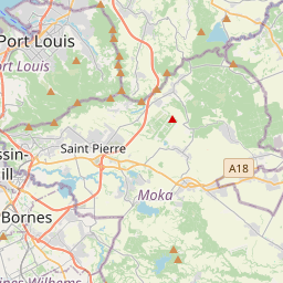
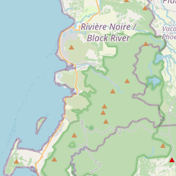
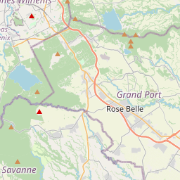
Last price
—
Floor price
—
7-day median
—
30-day sales
0
30-day range
—
In circulation
0
Price history
median
low – high
sales
No sales in this period
Show table
| Date | median | Low | High | sales |
|---|
Sales history
- Last sale
- —
- 30-day average
- —
- 30-day low
- —
- 30-day high
- —
- Sales 7d
- 0
- Sales 30d
- 0
No sales yet.
Anonymous sales: no buyer or seller shown. Figures count player-to-player sales only.
From Wikipedia
Curepipe (Mauritian Creole pronunciation: [kiːəpip]), also known as La Ville-Lumière (The City of Light), is a town in Mauritius, located mainly in the Plaines Wilhems District. Its eastern part lies in the Moka District. Known for its colonial architecture, the town is administered by the Municipal Council of Curepipe. Curepipe lies at a higher elevation, often referred to as the "Central Plateau". According to the census made by Statistics Mauritius in 2018, the population of the town was at 78,618.
Text: Wikipédia, CC BY-SA 4.0. · Image: mwanasimba from La Réunion (CC BY-SA 2.0) ·
Related cards

Ville Haute
Quarter in central Luxembourg City
Nº Q1966656 ★

Coruripe
Municipality of Alagoas state, Brazil
Nº Q1796426 ★★★★
Port Mathurin
City in Rodrigues, Mauritius
Nº Q1021638 ★★

Mauritians
Citizens or residents of Mauritius
Nº Q4273828 ★★

Cururupu
Municipality of Maranhão state, Brazil
Nº Q1886395 ★★★

Flic-en-Flac
Human settlement in Mauritius
Nº Q3073702 ★★